I find i'm starting to have to explore my environs a lot more to find suitable routes to enable me to increase my distances. I wonder how others get on with their route planning?
Do you go walking before hand to check out if paths are accessible?
Or do you use a tool like googlemaps? I find google isn't much use for checking rights of way or whether a footpath actually exists or just looks like it does.
I'm keen to use more trail than road to protect the legs.
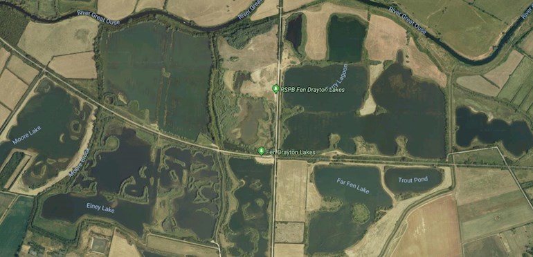
I live next to a wetland that has an old railway(converted to guided bus) going through it, so it has a mix of straight tarmacadam path and also very muddy lake side paths. I'm keen to use more of it.. maybe I should buy the local ordnance survey map?
Written by
pinkaardvark
Graduate10
To view profiles and participate in discussions please or .
Generally I walk a route with Mr Millsie, or my son, and we explore etc. until I have the distance required. I have a great, quite tough trail run I want to do a try-out walk on as soon as the weather is suitable..........always keep looking!
Also don’t forget you can use your local Parkrun route anytime........my nearest is a two lap, so to get to 10k I often drove there midweek and did extra laps .
If you are doing a loop it’s very surprising how different it is to run it the opposite way round.
Ps the walks are good rest day activities 👍🏼
I just go out and explore. Which led me into ankle deep mud and impassable fields last weekend. I have some idea of what to expect from dog walking but can't predict conditions I also googled running in my area, and it brought up some useful routes that other runners had posted.
Ah, I was about to recommend Map My Run to you, as on the desktop you can map out a run beforehand, but it does only work for roads, not so much trails. However, if there are other runners in your area who have done trails and have used Map My Run, these will show up on the app when you are searching for a route. You can also explore and go for a walk of the trail you want to do to save it as a route then use it for a run with the app guiding you which way to go.
I've not tried MapMyRun, but the Endomondo and Strava route planners are nice, you just click on the map to draw out a route. They're using Google Maps, but I have managed to plot out trail routes (e.g. parts of the South Downs Way) on Endomondo for example. As with MapMyRun, other people's routes can be viewed on Endo (if they've made them public).
I found this website called Car Free Walks a while ago. I haven't got around to trying out any of the routes on it admittedly, but it does appear to contain an awful lot of info!
As a mapaholic I can't believe you don't have already have all the Ordnance Survey maps of your area in all scales, plus all the reproduction Victorian ones. Did I mention I like maps?
You can however use the OS online service to have a look around (osmaps.ordnancesurvey.co.uk), but even the OS showing a right of way is no guarantee you'll be able to run along it. I'd go out for a stroll first armed with at least a pair of secateurs.
Goodrunguide cos it”s good for showing tracks and footpaths. I check it out on there before going running. It shows the trails/footpaths or roads in satellite and footpath mode and you can toggle between the two. It is a full on running app and website that links into the running watches, or walking or whatever I subscribe to it now as I use it so much, but you can use it for free I believe by going into “measure a route” then go into “find location” I used it free for a while before signing up
You are represented by a little runner icon to show where you are in the chosen route, it measures your distance as you move
Interesting post. It has made me realise that I don't diversify my running much. Most of my running I view as training for one event or another. I do this round where I live on the pavements. I have a series of loops and circles I do around where I live and currently have a route within for 3/5/7.5 and 10 mile runs.
At the moment I am training for a HM in March, and after that will be a 10k in April followed by an event over the May bank holiday which will be a marathon run over 3 consecutive days i.e. Day 1, 10 mile - East Grinstead/ Day 2, 10 mile - Haywards Heath/ Day 3, 6.2 mile (10k) - Burgess Hill. So I don't really vary my running routes, and don't run routes just for the fun of running.
Maybe that will be my goal later in the year. Have fun.
It was worth my efforts posting this query simply to hear that you run around the woods with a bag of flour. It sounds like some kind of weird grimm brothers fairytale
Take a look at gmap-pedometer.com/ and turn on open street map (OSM) top right, loads of paths shown that are not available on others and you can swap between Google satellite and OSM to confirm where you are.
You can map your route which gives you the distance and you can save the routes and even export them to other apps.
Thankyou, that's really useful and does show where paths are that google doesn't show. Goodrunguide does as well, but it still struggle to actually let you plot the route across a lot of the paths that I definitely know are there.
Ordnance Survey maps. Either paper ones or digital ones which can be found entirely free of charge by using Maverick, which is a tracking app for Android or iOS. Don't go out without it.
If you have something like MapMyFitness they have a route planning tool that’s quite easy to use. You just have to make sure that you deselect the ‘use road’ button (probably not actually called that, but that’s what it does). Like Google I don’t think it will tell you if it’s not actually a public footpath, but I seem to think I have fewer issues when using it, compared to Google.
When I was running fewer kms I’d have a dog walk to check the route, but now I need to up my distance I just go and view having to turn back as part of the fun.
Otherwise, many of the tracking apps have other people’s routes saved on them, which can be helpful.
Content on HealthUnlocked does not replace the relationship between you and doctors or other healthcare professionals nor the advice you receive from them.
Never delay seeking advice or dialling emergency services because of something that you have read on HealthUnlocked.

")