I have found some great places to run through woods and across fields, my favourite being in the middle of nowhere! Wondering how I can find more places,,where are the trails? Bi have an Ordinance Survey map but I'm not a good map reader, so find it all a bit of a puzzle, any tips?? Julie
Where are the trails?: I have found some great... - Bridge to 10K
Where are the trails?

I head off on bridleways and footpaths, which will be marked on OS maps. Then I explore the 'paths less trodden', of which there are usually quite a few, just to make it more interesting!🙂. I guess it depends on where you live to an extent. I am lucky to be surrounded by a lot of options that I can run to from my door. Hope this helps.
walkjogrun.co.uk is where all the runs are.
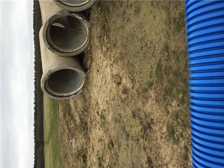
Joolie! Don't try and run through those pipes!! Your too tall!😀
Plan the routes on an OS map, and transfer them to piece of paper in a larger scale before you go out..😊
I have brought all the OS maps in my area on my phone. All I need is my phone which i carry in case of emergency and so I have all the OS maps with me at all times and it tells me where I am I the map too.
I think if you buy the latest maps they come with the digital version as well.
Thats OK if you have a fancy phone so you can download them...
Ordnance Survey maps come in two common scales, 1:50,000 on which footpaths and bridle ways are dotted red lines and 1:25,000 where they are marked green. I tend to use the latter as the detail is greater, ie. every field boundary and building is shown.
Bing maps has an OS option which you can zoom into and print off at much greater magnification than a standard map. There is also my favourite Android app, Maverick, which can display a vast array of maps from around the world, including OS Explorer. On a GPS equipped phone or tablet you can explore your route prior to setting off and it will cache the maps, requiring no further data connection while you are running or walking. Maverick can also track you and enables you to set waypoints and all for free.
PS the blue grid on OS maps are at 1k spacing, which helps with estimating route length.
